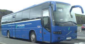
One Saturday morning I thought that I wanted to go hiking. So I took the bus at 9.55am from Torshavn to Kirkjubø.
One Saturday morning I thought that I wanted to go hiking. So I took the bus at 9.55am
from Torshavn
to Kirkjubø.
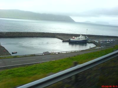
The bus first drives to a port where
a ferry sails to Skopun. I didn't go with that ferry, however, because I wanted to
go to Kirkjubø.
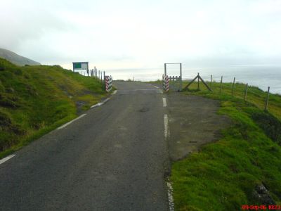
A suitable place to get off the bus is by a curve.
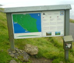
There is also an information board with information about the area.
It
is time to go.

When you look up, you can see a path that you can walk on.
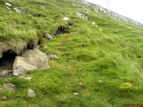
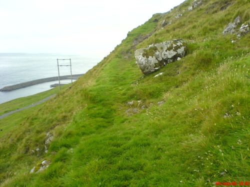
It is not easy to see the path, but it is there.
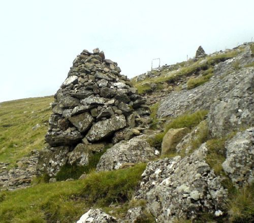
There are cairns.
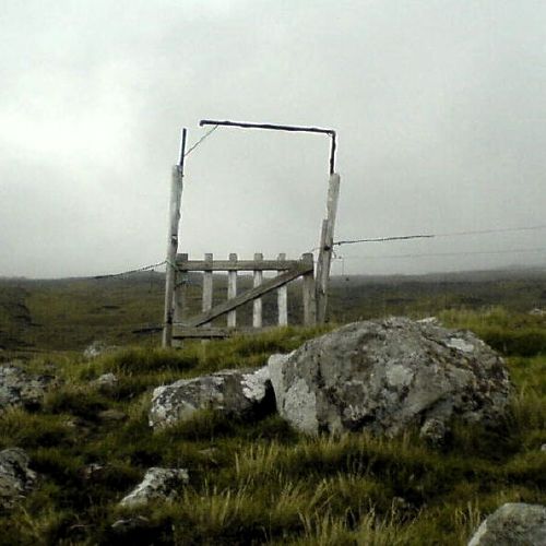
There is a gate.
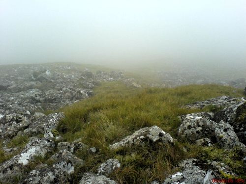
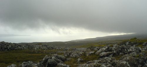
When I looked down, the fog was very dense.
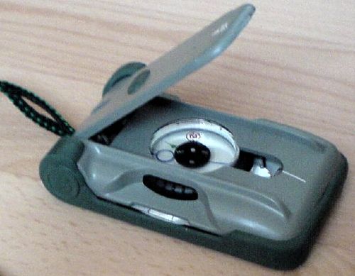
It is worth while to have a compass in the fog.
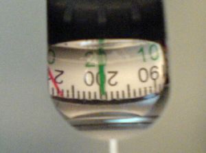
First you set the course. I knew that the course should be 20°
in order for me to get to Torshavn.
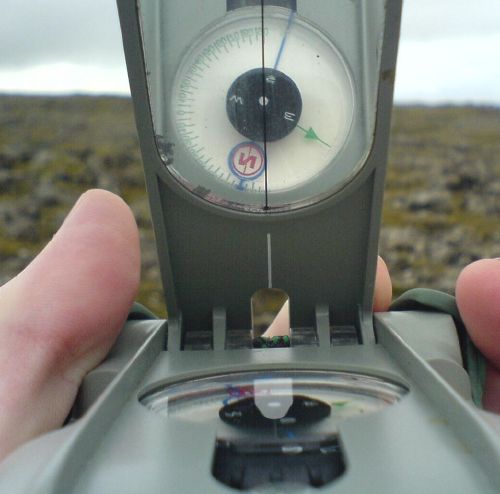
When the course is set,
you hold the compass so that the red circle is inside the blue circle. Then you just
walk straight forward. The fog was there for about half an hour. This picture is taken
after the fog went away.
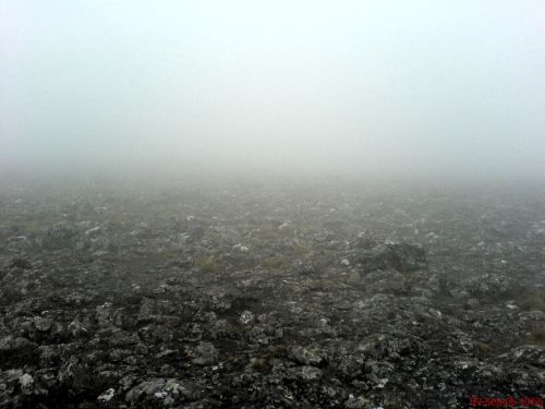
But the fog is still there.
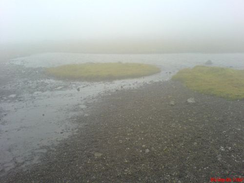
A small lake in the fog.
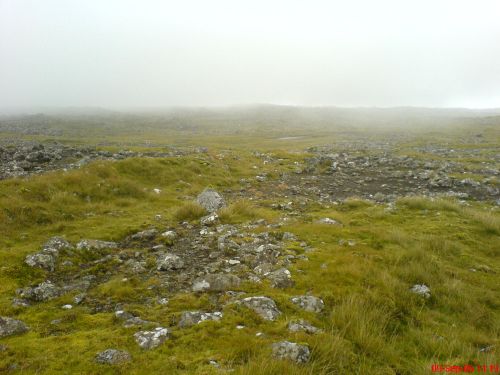
It begins to be clear again.
A view to the south.
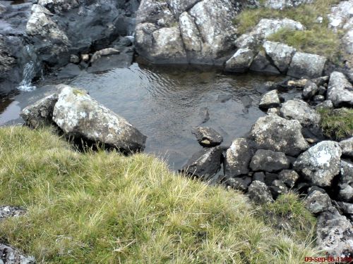
A brook.
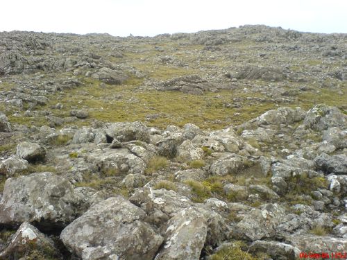
A lot of rocks.
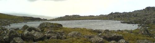
Another lake.

Approaching Torshavn.
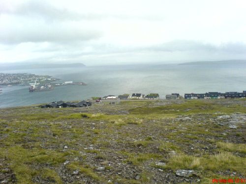
Argir, which is a part of Torshavn. The clock is 12.31pm.
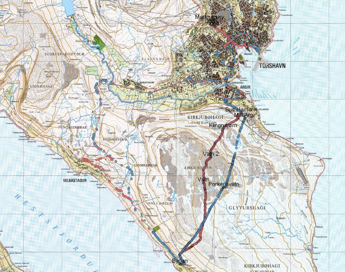
Some time after that I went on this hike again at least two times, bringing
a GPS receiver. Here is a map of both hikes with a GPS receiver. At some places
there is a gap between the dots. That means that I rode with the bus.